


A new “outdoorsy” trend has taken root at Palo Alto High School, where weekend hikes are the new popular things to do. Though after a few trips, local paths like Windy Hill start to feel repetitive. For all those aspiring John Muirs, there are an abundance of unique hikes just a short drive from Palo Alto. This article explores only a few of the many hiking options available and judges each trail on its aesthetic beauty, physical exertion and uniqueness, and names the overall best hike as Castle Rock State Park. Students with a flair for the out-of-doors should explore some of the best kept secrets of Bay Area hiking, far removed from the crowded and dusty local paths.
Castle Rock State Park
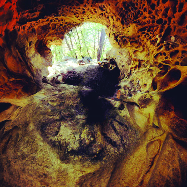
The 32 miles of hiking and equestrian trails at Castle Rock State Park explore the Santa Cruz Mountains. Saratoga Gap Trail winds alongside unique rock formations and past sweeping mountain views for a total of 4.7 miles. Goat Rock and Castle Rock are particularly great places to explore and climb. Atop Goat Rock, Monterey Bay is visible to the left. Lacking in any real elevation change, the trail is made interesting by the gnarled roots and rocks that crisscross the paths. These obstacles keep the hike eciting and set it apart from typical, well groomed paths in the Bay Area.
Sam McDonald Park
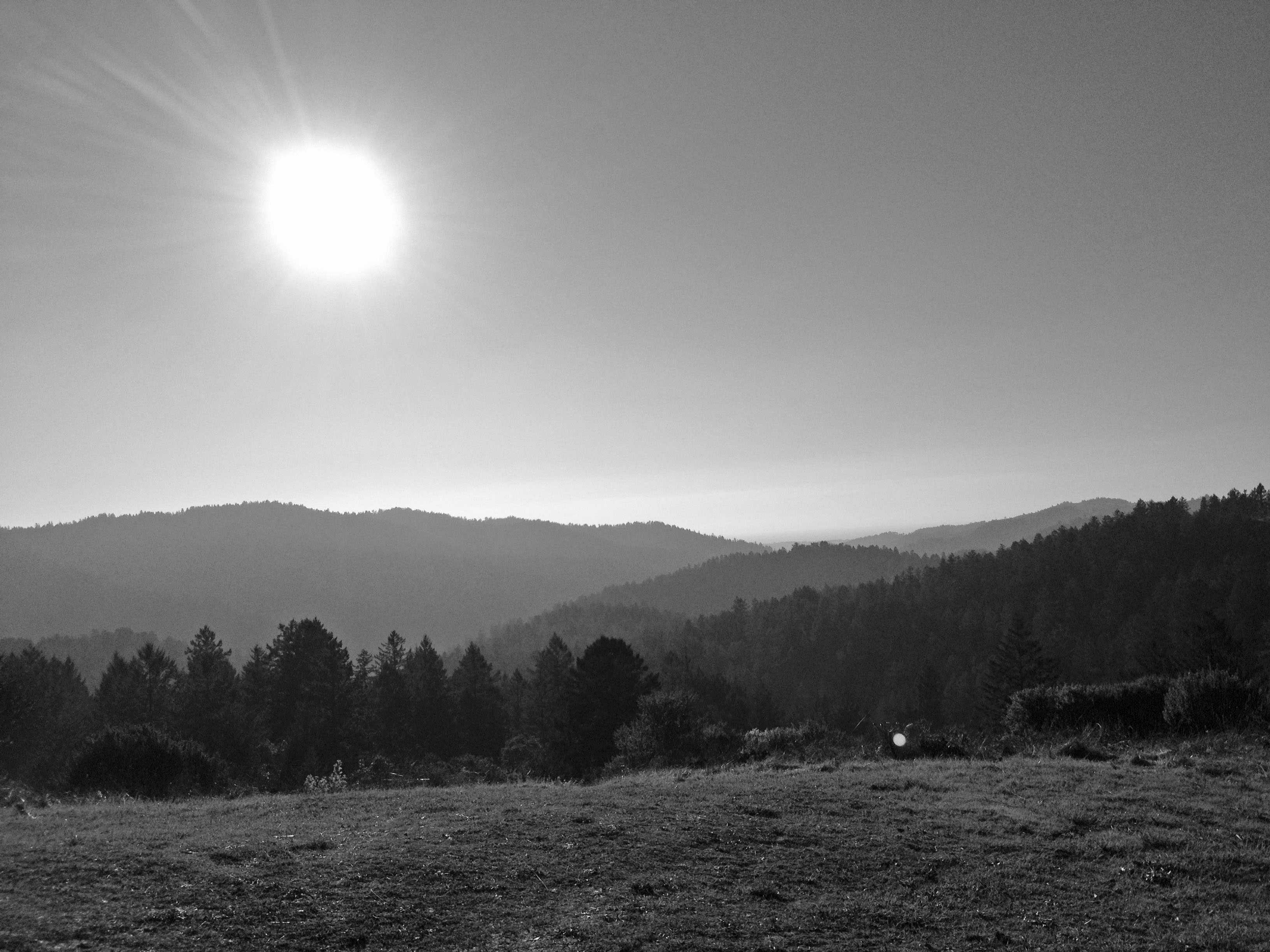
Nestled between the Santa Cruz Mountains and the Pacific Ocean, Sam McDonald Park is the most difficult of the hikes to access. After a mile trek up the Towne Fire Road, the Brook Loop trail begins in a sunny meadow overlooking the ocean and surrounding mountains. The Brook Loop trail begins by winding down to the canyon floor, where a mellow creek meanders along. Passing a variety of flora, redwoods dominate the landscape, creating an entirely shaded hike. Lodging is available upon reservation at the Sierra Club Hiker’s Hut, which sits above the canyon and overlooks the ocean. The Hut is a small cabin equipped with a kitchen and bathroom, but it fills fast, so make sure to plan ahead.
Sunol Regional Wilderness
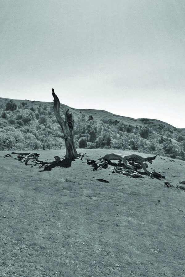
Although this park closely resembles open space preserves in Palo Alto, a few key differences make it worthwhile. For one, it functions as a ranch in addition to being a recreational area. As such, cows roam the property, adding to what could otherwise be an uninspiring hike. For another, the taller hills and larger park enable grander views of the surrounding hills and a greater physical challenge than hikes in Palo Alto. By the same token, the steep, exposed hills make hikers vulnerable to the sun, especially during the summer.
Matt Davis Trail
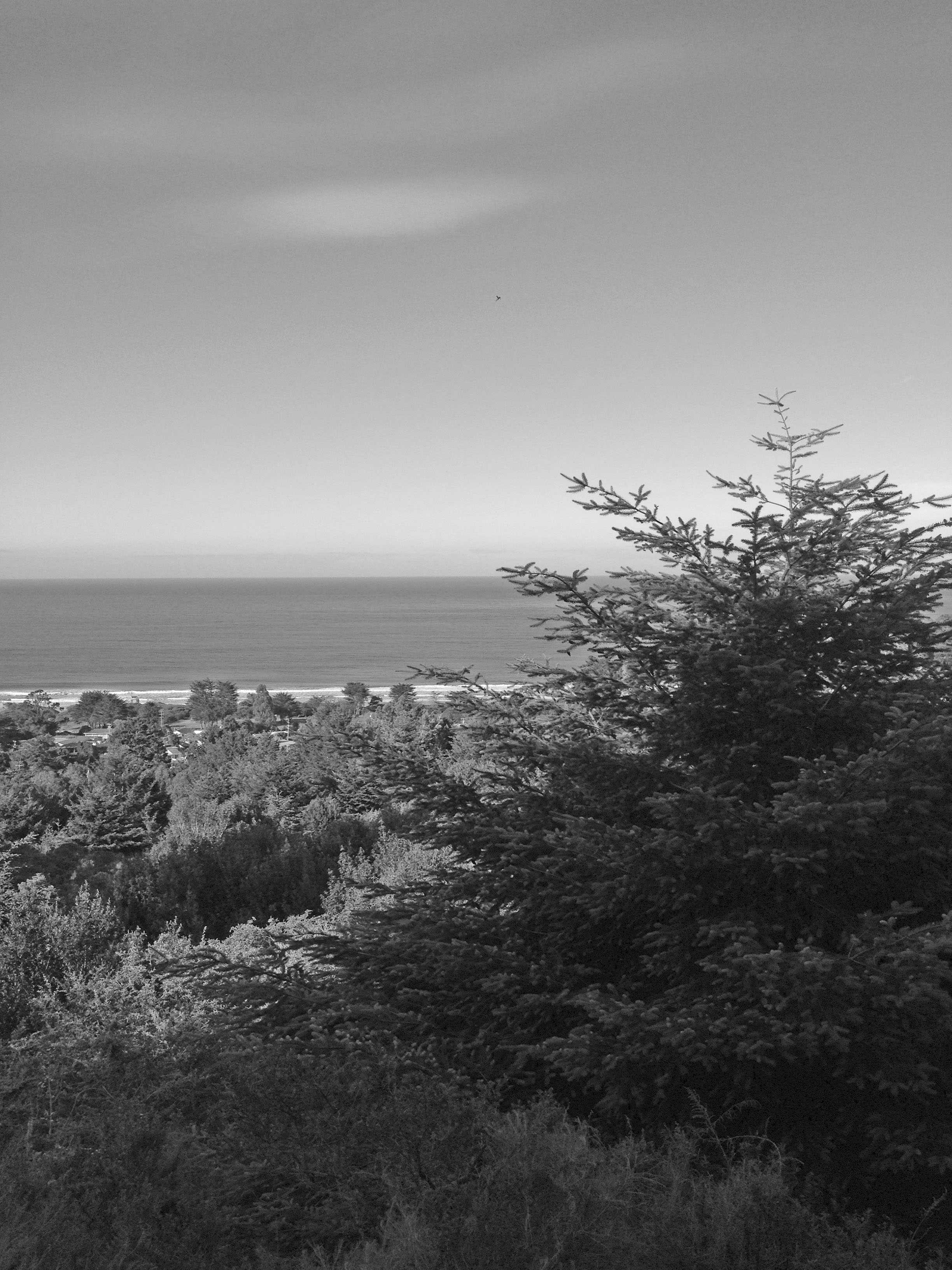
Across the Golden Gate and through the backroads of Marin, the drive to the Matt Davis trail is breathtaking, if not a bit nauseating. Beginning in a residential area, a steep ascent takes the path quickly into lush forest scenery. Creeks lace the path, adding to the jungle-esque feeling. The occasional break in trees opens the view to the ocean and jagged Pacific coastline. Hiking to the ranger station and back requires a 5.8 mile round trip journey with views to make the grueling uphill worthwhile. Once back in the car, Stinson Beach is conveniently located near the trail for a late lunch at a beachside cafe.